

|
1916 Sierra Club High Trip |
 |
Photographs courtesy of Rich McCutchan unless otherwise noted. (Photographs taken from the personal photo album of L.R. Kessing of Alameda, CA aquired by Rich) See USE NOTICE on Home Page. |
NOTE: The photographs on this page chronicle the 1916 Sierra Club High Trip from Camp Nelson, in Sequoia National Park, to the Kern River, Mt. Whitney, Center Basin, Rae Lake and Onion Valley |
Complete Text of the Sierra Club 1916 High Trip
|
|
|
|
 Giant Sequoia trees at Tule Basin |
 Giant Sequoia trees along Freeman Creek trail - Lunch Spot |
 First view of the Kern River |
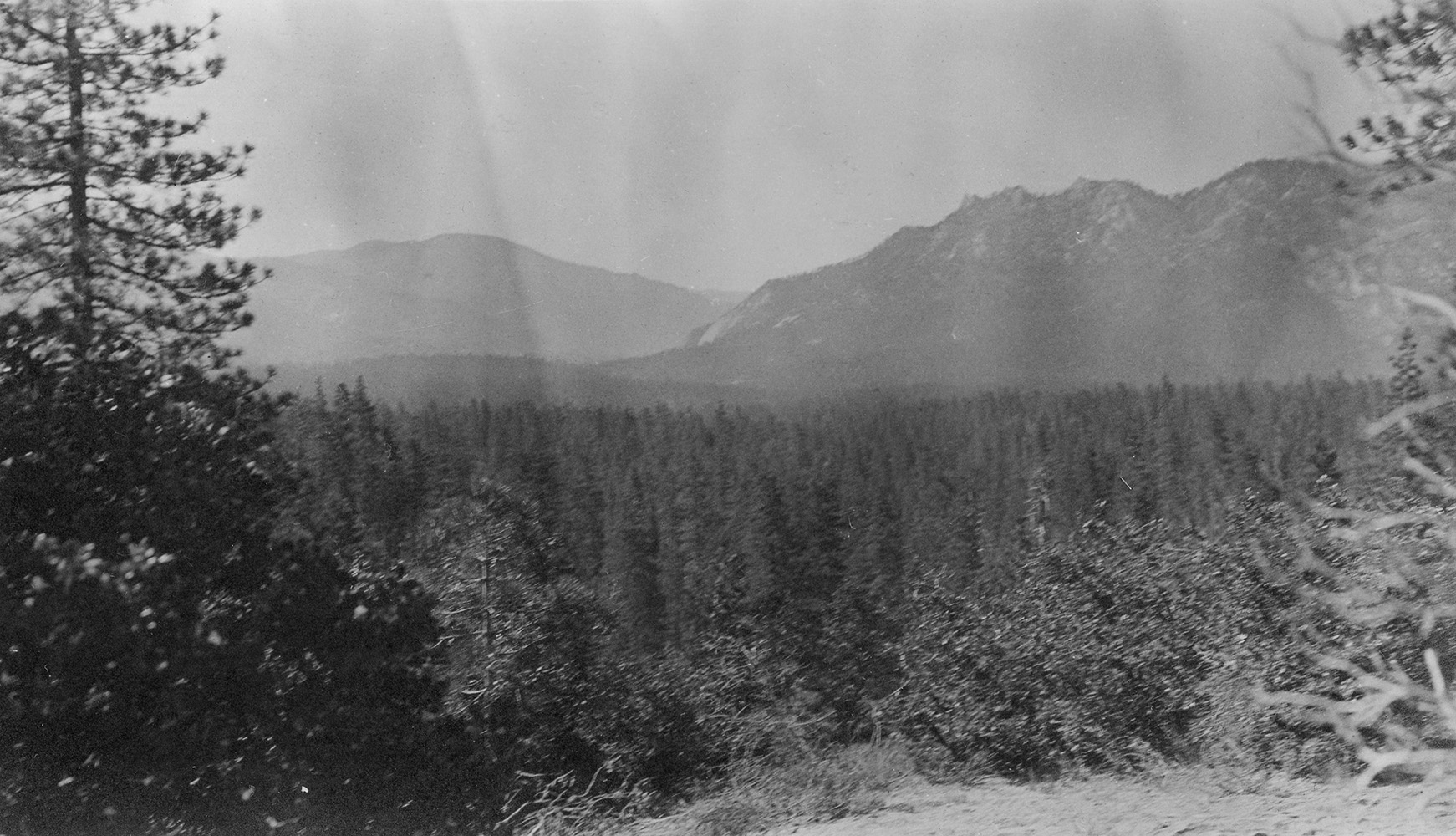 Looking back at Lloyd Meadows |
 Trout Meadow campsite |
 Kern River |
 Campsite at Little Kern Lake |
 Creek at Little Kern Lake campsite |
 Kern River at Happy Isles |
 Little Kern Lake lunch campsite |
 Kern River at Happy Isles |
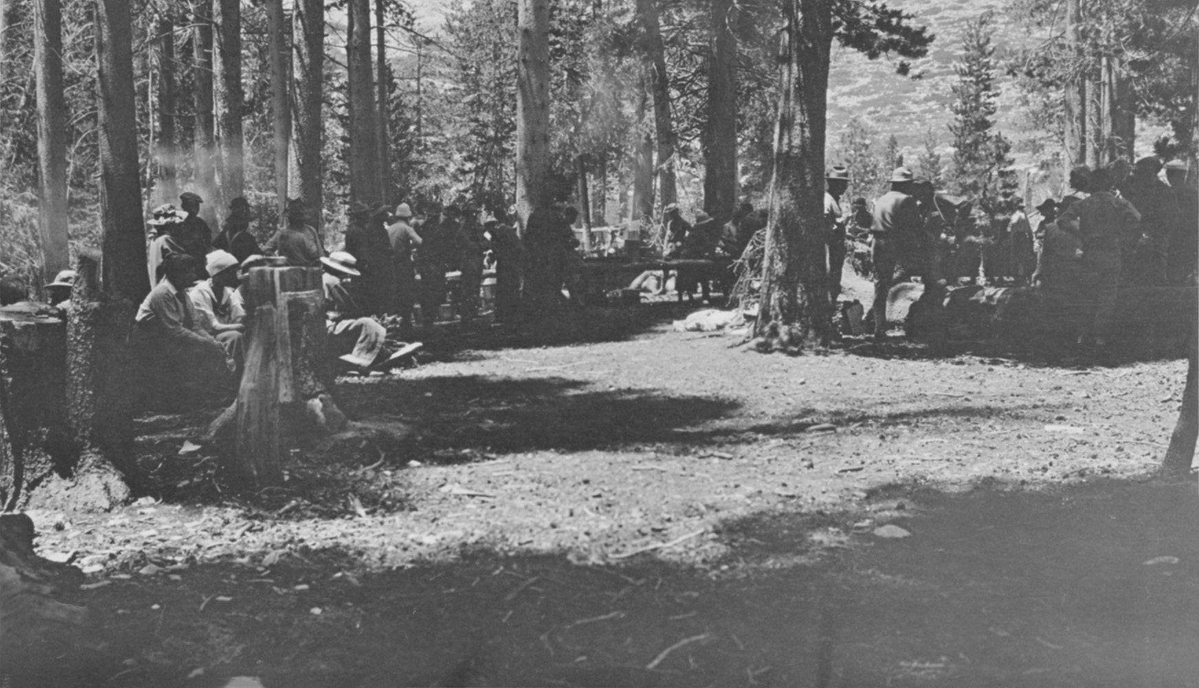
 Relaxing in camp at Little Kern Lake - First week out and still clean! |
 Little Kern Lake |
 Kern Canon from Big Kern Butte |
 Kern Canon |
 Sunset on Kern Canon from Kern Butte |
 View of the Kern Canon from wall near Kern Butte |
 Morning on Big Kern Lake |
 Big Kern Lake at dawn |
 Looking down on the Kern Canon from the trail to Moraine Lake |
 Sky Parlor Meadow |
 Sky Parlor Meadow on the Chagoopa Plateau with the Keaweah Mountains (left) and Mt. Needham (right) in the background |
|


John Muir Trail Construction
by William E. Colby
|
|
|
 Five Lake Basin |
 Five Lake Basin |
 Giant Sequoia trees at Tule Basin |
 View from near Five Lake Basin |
 Pine trees at the south end of Moraine Lake |
 Campsite at Junction Meadow on the Kern River |
 Kern Canon from the east wall of the valley on our trip to Crabtree Meadow |
 Campsite at Crabtree Meadows |
 Whitney Creek at Crabtree Meadows |
 Sierra Clubbers leaving camp at 5:45AM on their hike to the summit of Mt. Whitney (background left) |
 Sierra Clubbers leaving camp at 5:45AM on their hike to the summit of Mt. Whitney (background left) |
 Passing Guitar Lake on the climb to the summit of Mt. Whitney |
 Mt. Williamson from the summit of Mt. Whitney |
 Owens Lake from the summit of Mt. Whitney |
 View southwest from the summit of Mt. Whtiney |
 Smithsonian Institute high altitude observatory on the summit of Mt. Whitney |
 Sierra Clubbers on the summit of Mt. Whtiney |
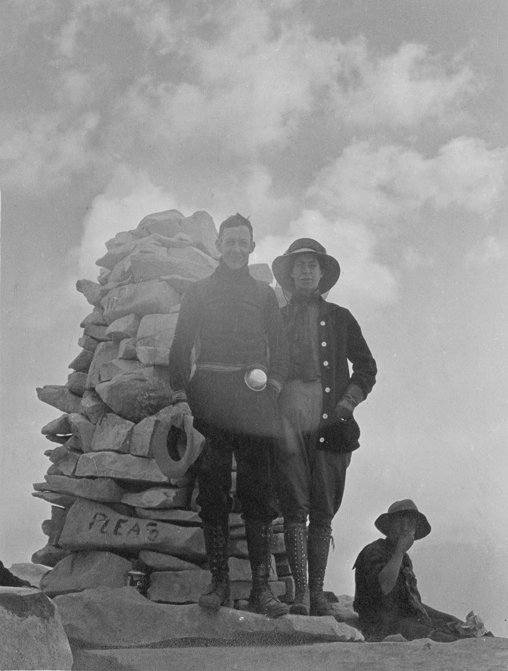 Sierra Clubbers on the summit of Mt. Whtiney |
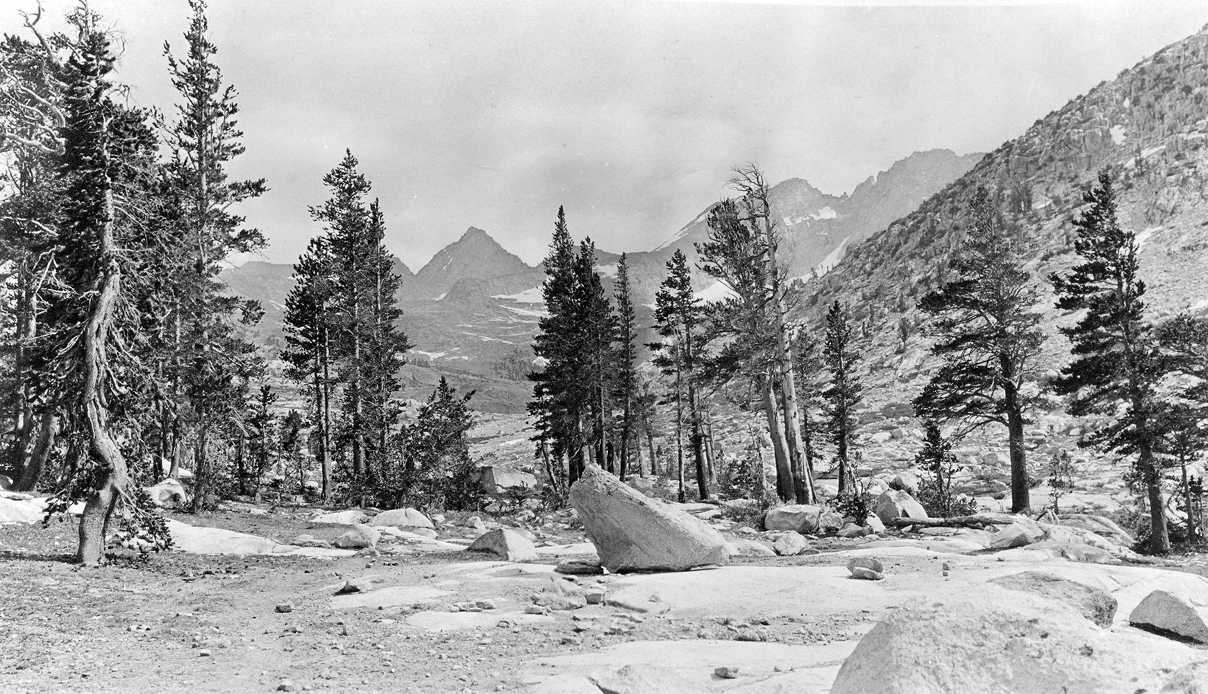
 View of Tyndall Meadows |
 Campsite at Tyndall Meadows |
 View south from an unnamed ridge north of Tyndall Meadows |


Mount Whitney Meteorological Observatory
by Alexander G. McAdie
The Observatory on Mount Whitney
by Alexander G. McAdie
 View of Milestone Mountain and Table Mountains from the same unnamed ridge north of Tyndall Meadows |
|
 View south from an unnamed ridge north of Tyndall Meadows |
 L/R: Mt. Erricson, Harrison Pass, Mt. Deerhorn, Mt. Stanford, Lake South America view from that same ridge |
 Shepard's Canon |
 Looking up on the newly completed John Muir Trail at Forester Pass |
 Looking down on the newly completed John Muir Trail at Forester Pass |
 Hikers and packers in Center Basin |
 Center Basin |
 That Ham Bone in Center Basin |
 Vidette from Center Basin |
 Lower end of Center Basin |
 Approaching Bubbs Creek |
 View into Bubbs Creek Canon |
 West wall of Bubbs Creek Canon |
 Rae Lake from Glen Pass |
 Rae Lake from the John Muir Trail |
 East Vidette |
 Rae Lake |
 Lunch site at Rae Lake |
Mount Whitney,Whitney Creek, and Poison Meadow Trail
by Willis Linn Jepson
 Early morning on Rae Lake |
 Early morning on Rae Lake |
 Peaks in the Rae Lake Basin |
 Lake below Rae Lake looking north |
 Sixty Lake Basin |
 Fin Dome in the Rae Lake region |
 Sunset at Rae Lake |
 Sierra Clubbers at Rae Lake |
 Center Basin and East Vidette |
 Kearsarge Pinnacles at Sunset Lake |
 Kearsarge Pinnacles |
 University Peak and Pothole Lake near Kearsarge Pass |
 Sierra Nevada from Owens Valley |
|
 Clubbers resting in baggage car 363 at Kearsarge Depot on the Carson & Colorado Railroad. |
|
 Sierra Club dunnage being loaded into baggage car 449 at Kearsarge Depot on the Carson & Colorado Railroad for the trip home. |
|
Lona Burkhart |
||
| Heritage and Humble Pie | ||
| Mt. Whitney Portal Road Construction and Mt. Whtiney Trail | ||
Cartago |
||
Owens Valley Sheep - Alfred A. Giraud |
||
Bob Swandt |
Sign Guestbook View Old Guest Book Entries Oct 1999 - Feb 2015 (MS Word) |
 CONTACT the Pigmy Packer |
View Guestbook View Old Guest Book Entries Oct 1999 - Feb 2015 (PDF) |