

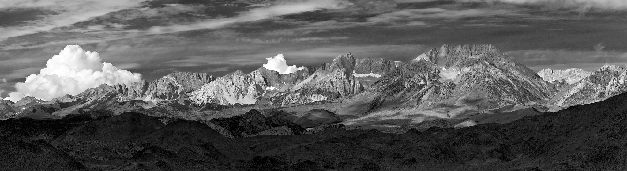
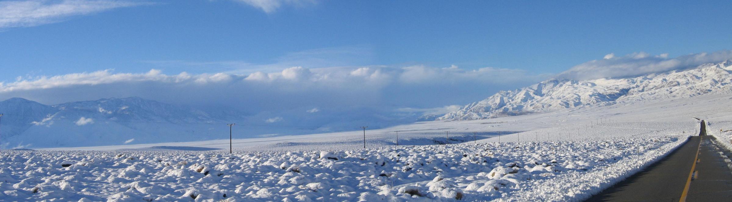
Sierra Nevada just North of Bishop, California
Photo courtesy Lloyd L. Chambers
[Copyright 2005 Lloyd L. Chambers All rights reserved -
See USE NOTICE on Home Page. |
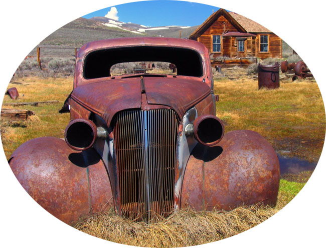 Ghost of the Past in Bodie |
 Page 1 |
Unless otherwise noted, all
black & white Foto Cards are Frasher Foto Cards. |
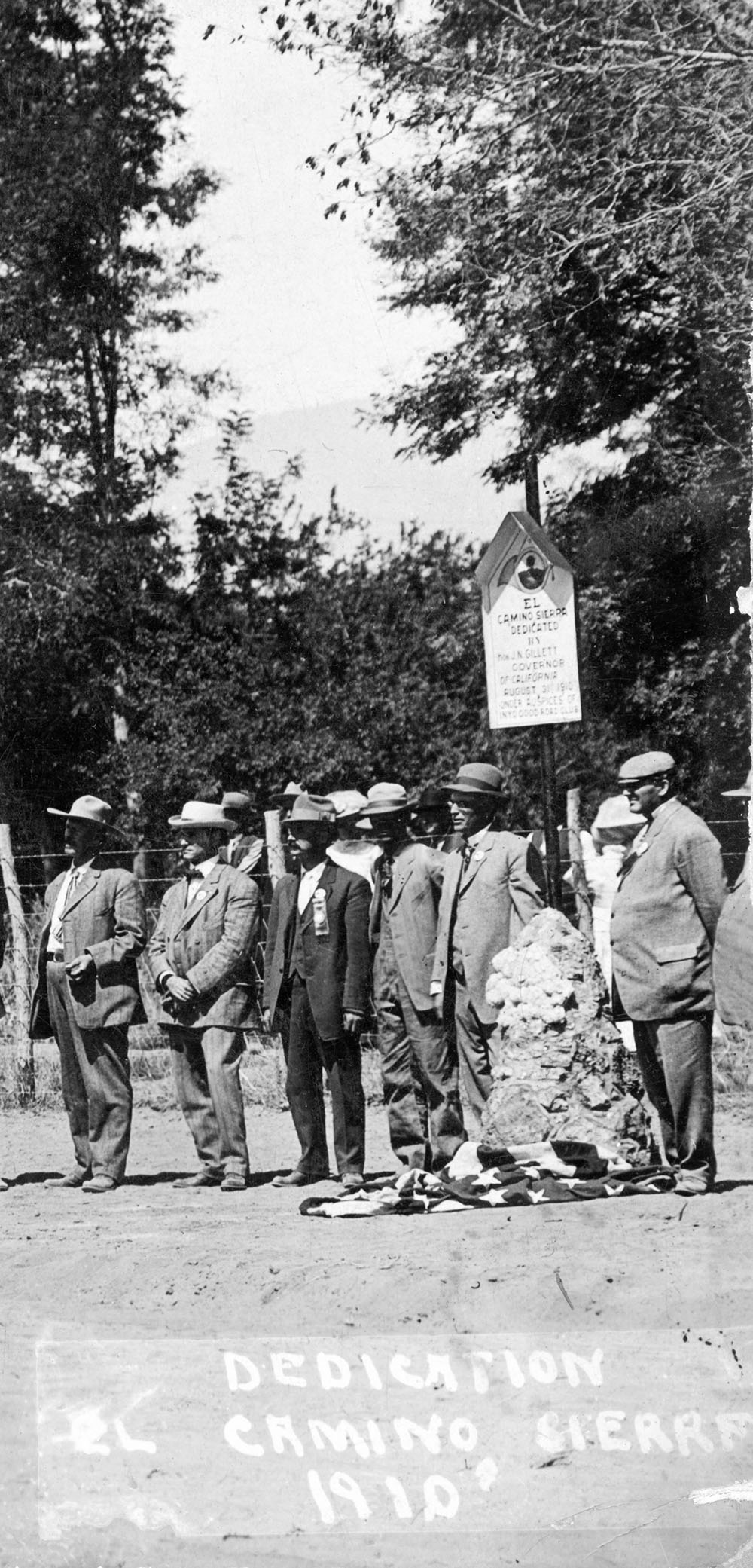
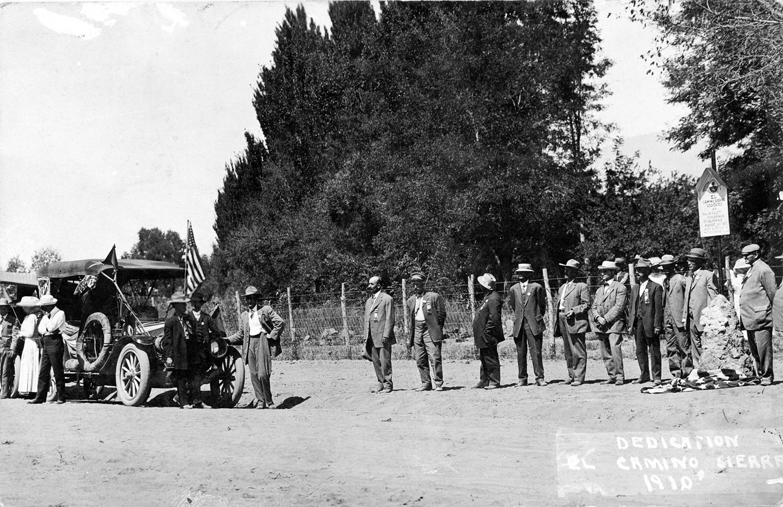
Dedication
of the El Camino Sierra in 1910 (Photocard courtesy of Rich McCutchan) |
|
 |
 |
History
of the El Camino Sierra |
The modern highway system coursing north and
south along the base of the eastern Sierras through Owens Valley
and the Indian Wells Valley (IWV) has a rich and varied history.
It was, as its origin, a trade route over the ages for resident
and itinerant Native Americans and the confluence with the nearby
Walker Pass route enabling trade with their brethren in the San
Joaquin Valley and coastal regions.
|
 Southern end of Owens Valley - 1924. |
||
 |
|||
| flood of prospectors
into the desert areas east of the Sierra Nevada mountains. By
1860 a wagon and stage road wound its way up from Los Angeles
to Inyo country, crossing the IWV along the base of the Sierras,
following the ancient trail. The 1860's and 70's saw the passing of many prospectors through the Indian Wells Valley. Major silver and gold mines were established at Coso, Cerro Gordo, Panamint, Darwin plus others in the Inyo and Argus mountains. The north - south Los Angeles to Inyo road in western IWV was a principal "thoroughfare". The great silver mines at Cerro Gordo, high up in the Inyos, were having difficulty moving their bullion output to the major market in Los Angeles. In 1873 the freighter Remi Nadeau came to their rescue. He improved the roads and way-stations and moved the bullion down from Cerro Gordo, around Owens Lake to Olancha, then south on the Los Angeles-Inyo road through Little Lake, the Indian Wells Valley and Mojave to Los Angeles. This route became known as the historic |
 Sentinels of days gone by. |
||
| "Bullion Road". In reverse, he carried
up a great volume and diversity of supplies from Los Angeles
to the Inyo mines. This trade: bullion down, supplies up, was
of enormous economic value in transforming Los Angeles from a dusty pueblo to a thriving,
growing city. The next big boost to the "Bullion Road" was the construction
of the Los Angeles Aqueduct, 1908 - 1913. The line of the aqueduct down from the Owens Valley generally followed the route of the Bullion Road, which served as the principal route for movement of material and personnel. Improvements were made to the road (but still dirt and dusty) and the construction of a railroad from Mojave up to Owens Valley greatly helped the logistic efforts. At the same time came the automobile! |
 Along the El Camino Sierra in Independence - 1911. |
||
|
|
|||
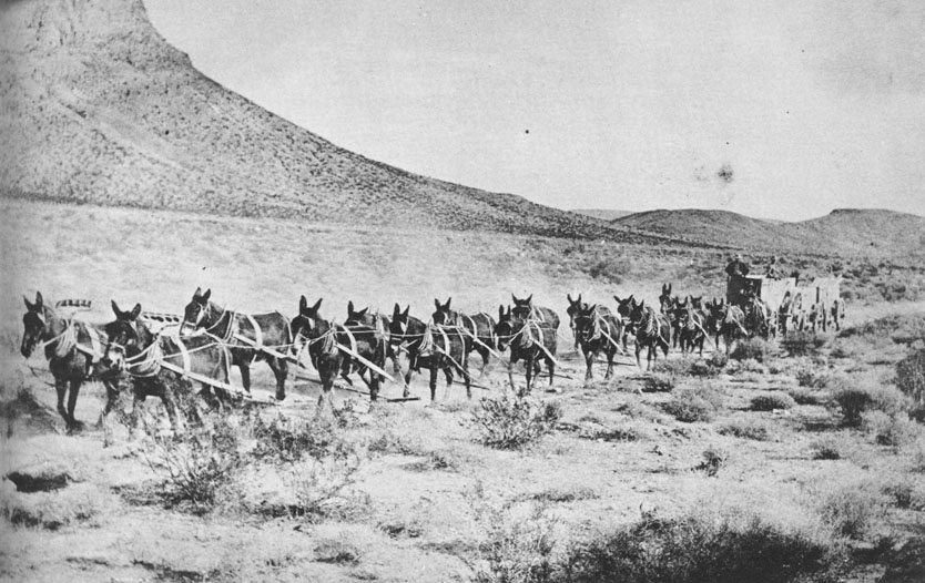 Remi Nadeau moving freight along the Bullion Road, as this section of the El Camino Sierra was aptly referred to for a brief period of time, from Cerro Gordo to Mojave and Los Angeles. [Photo - Mrs. Jack Gunn] |
|||
 |
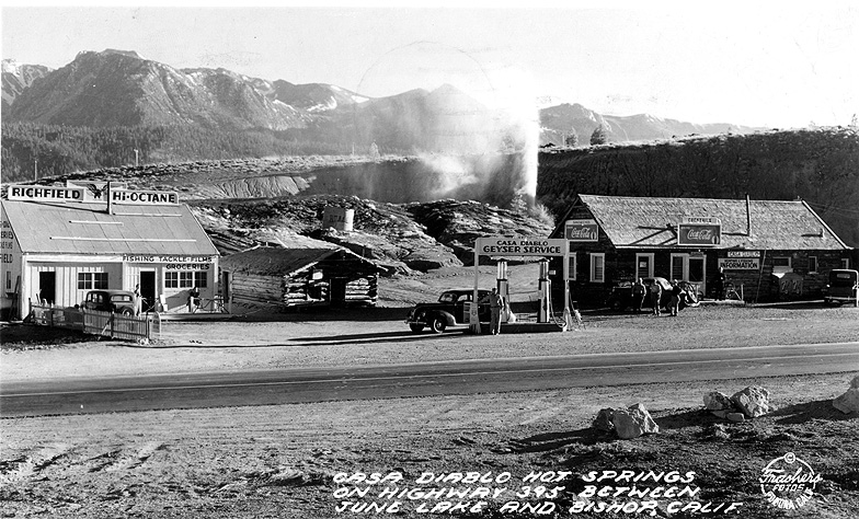 El Camino Sierra at Casa Diablo Hot Springs. |
||

| In response to pressures
from automobile owners for better roads, the State of California
floated a bond issue in 1919 for highway construction. This included
improvements of the route from Los Angeles to Bishop. The Lancaster
to Mojave segment was paved in 1922. Other segments north in
IWV to the Inyo County line were paved in 1927 and 1929. The
final segment, through Red Rock Canyon, was paved in 1931. This
stretch from Los Angeles to the IWV where it merged into U.S.
Highway 395 near the Inyo County line was designated State Highway
23. It generally followed the old Bullion Road, with some realignment
in the IWV to more favorable terrain. In this same time frame,
highway improvements were continuing on U.S. 395 up into the
Owens Valley to Bishop. There the road split; Highway 395 to
the northwest, U.S. Highway 6 starting and continuing north into
Nevada and points beyond. In 1937 U.S. 6 was extended south from
Bishop to Los Angeles and cosigned with Highways 395 and 23.
With these highways now paved, traffic through the IWV increased.
Further improvements were made to deal with heavy rain runoffs
from cloudbursts in the Sierra canyons. The flood from Indian
Wells and Sand Canyons in 1945 had severely damaged the Freeman Wash bridge and sections of the roadway. The establishment of the U.S. Navy's major research and development center at China |
 The El Camino Sierra along the east face of the Sierra Nevada - 1927. |
| Lake in 1943 and
growth of Ridgecrest generated more traffic. In 1958 and 1960
highway improvements included a new bridge and culverts in Red
Rock Canyon culminating in a 4-lane roadway and elimination of
all creaked crossings. In 1963: changes in signage. U.S. 6 was shortened back to Bishop. U.S. 395 stayed the same. State Hwy. 23 was redesignated as State Hwy. 14 which now starts at its connection point with Hwy. 395 at Brady's Station just NW of Inyokern and runs 117 miles south to its junction with Interstate 5 in Los Angeles County. Further highway improvements were made in the ensuing years to where the present line of Hwys. 395/14 through the IWV is a mixture of 4-lane expressway and 2-lane road. What does the future hold? The 2-lane segment of Hwy. 14 in the IWV starts at the north end of Red Rock Canyon where it transitions into a 2-lane road and runs 16 miles north to one mile beyond the Hwy. 178 Inyokern turnoff and becomes a 4-lane expressway again. CalTrans proposes to upgrade this 16 mile 2-lane segment into a 4-lane expressway. Engineering, archaeological and historic surveys are underway, some completed. |
 The El Camino Sierra south of Bishop - 1927. |
|
|
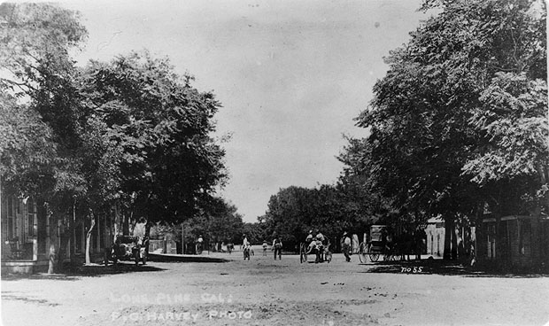
 Lone Pine, California - 1928. |
 Winter in Owens Valley. Road north towards Keeler on east side of Owens Valley. |
|
|
 Sherwin Grade leaving Owens Valley - 1927 |
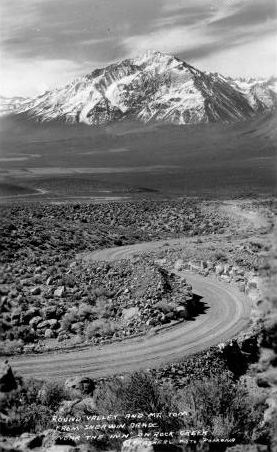 The El Camino Sierra ascending Sherwin Grade leaving Owens Valley - 1927 |
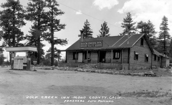 Rock Creek Inn, Owens Valley - 1931 |
|
|
|
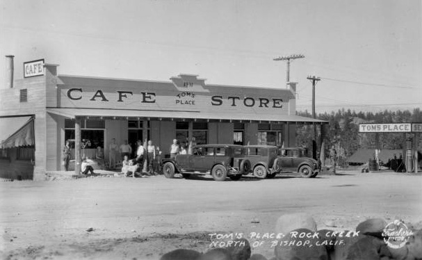 Tom's Place Cafe & Store at the summit of Sherwin Grade 1932 |
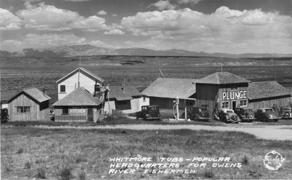 Whitmore Plunge just outside of Bishop on the El Camino Sierra - 1937 |
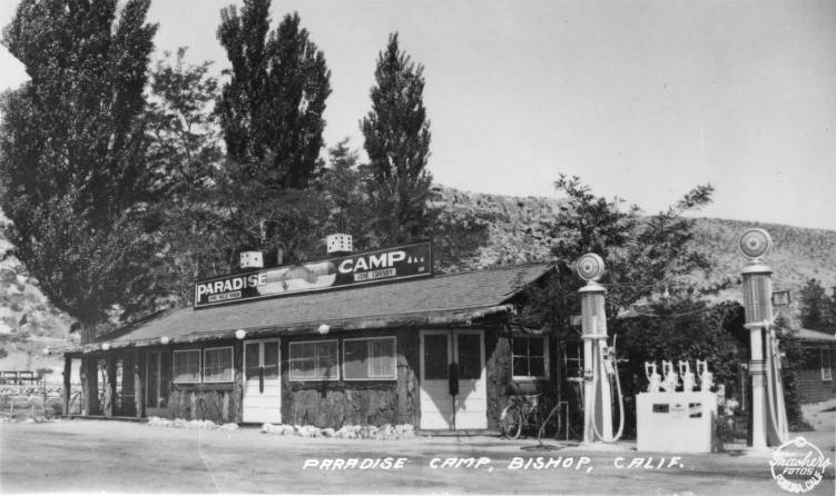 Paradise Camp, Bishop, California |
|
|
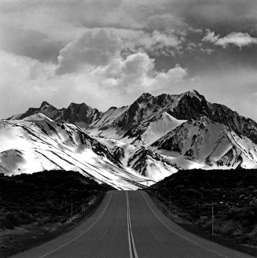 Eastern Sierra Nevada along U.S. 395 from Owens Valley [Photo courtesy David Henderson - copyright David Henderson] |
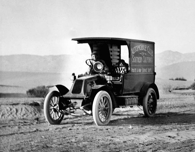 Automobile Club of Southern California [Photo courtesy Tales Along El Camino Sierra] |
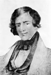
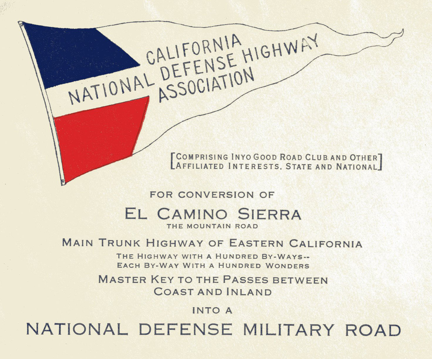 W. Gillette Scott, one of the founding members of the Inyo Good Road Club and the originator of the name El Camino Sierra, was always looking out for opportunities to promote Eastern Sierra Highways. After the US became involved in World War I, Scott proposed El Camino Sierra (the predecessor of Hwy 395) should be considered as a "National Defense Hwy" to help protect the United States should we come under a land invasion. Among other things, Military Posts should be built at the intersection of all Trans-Sierra Passes and El Camino Sierra as a first line of defense. (Photo and text courtesy of Tales Along El Camino Sierra) |
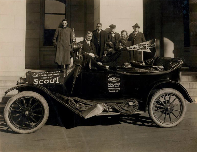 W. Gillette Scott, one of the founding members of the Inyo Good Road Club and the originator of the name El Camino Sierra, was always looking out for opportunities to promote Eastern Sierra Highways. After the US became involved in World War I, Scott proposed El Camino Sierra (the predecessor of Hwy 395) should be considered as a "National Defense Hwy" to help protect the United States should we come under a land invasion. Among other things, Military Posts should be built at the intersection of all Trans-Sierra Passes and El Camino Sierra as a first line of defense. (Photo and text courtesy of Tales Along El Camino Sierra) |
|
Vintage Map Images Courtesy of Hal Eaton |
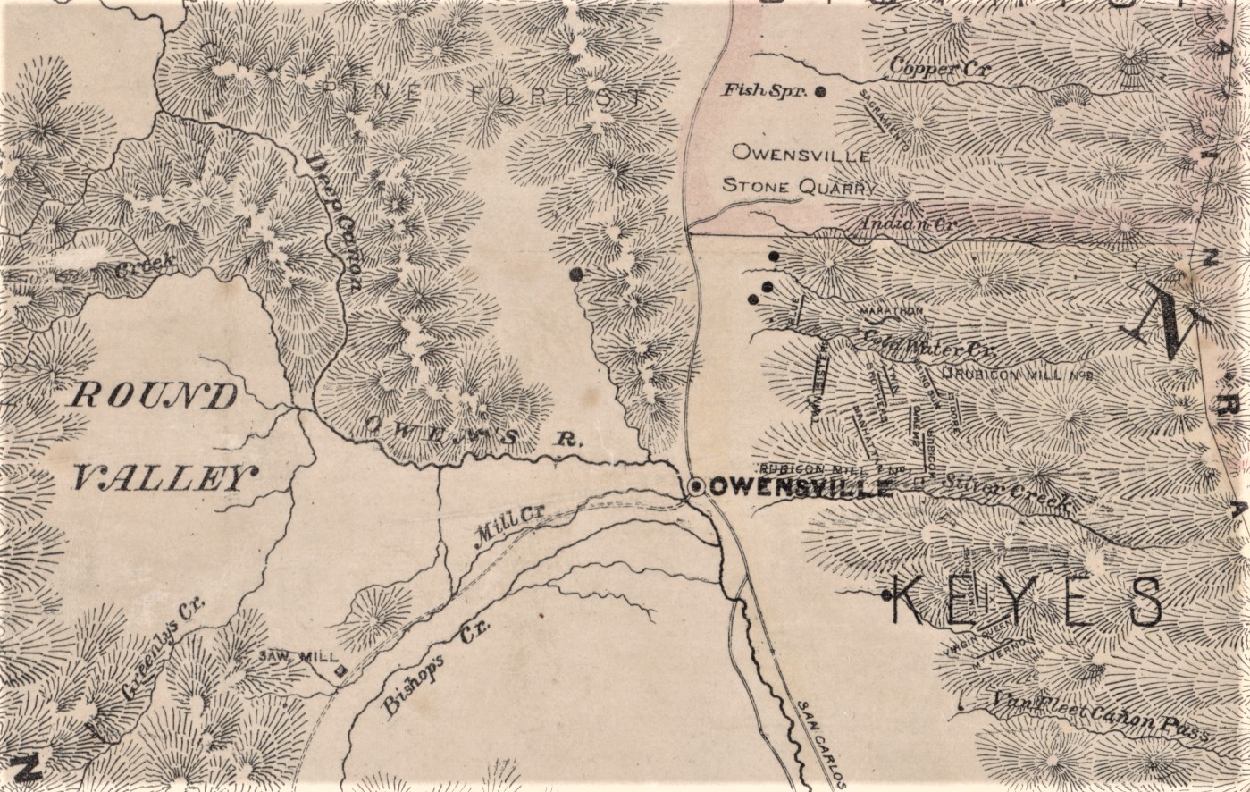 Forgotten place names along the El Camino Sierra - from 1864 Holt Map in the Bancroft Library |
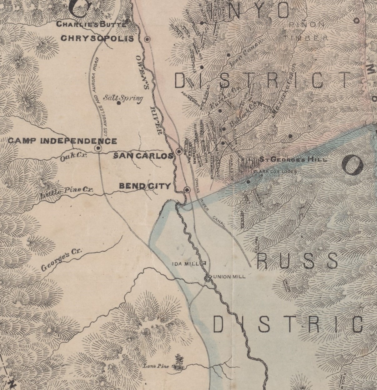 Forgotten place names along the El Camino Sierra |
 Three Flags Highway proposal - July 14, 1941 |
 Somewhere in Owens Valley (Photo courtesy of Tales Along El Camino Sierra) |
Photo courtesy of the California Transportation Library Digital Collection 1912 - El Camino Sierra, Pasear Tour |
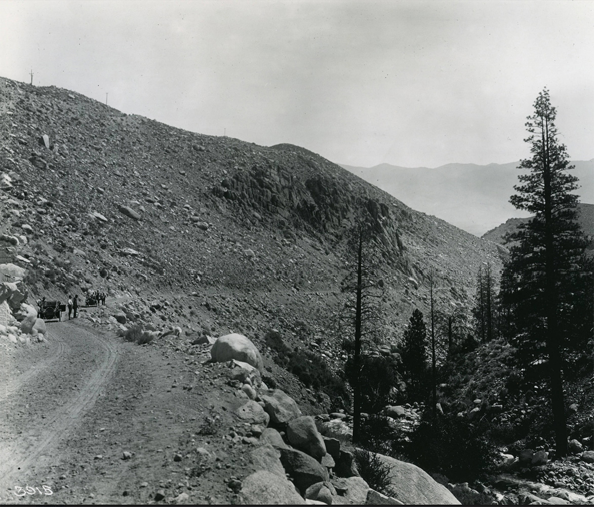 El Camino Sierra By-Way up Bishop Creek near Bishop, Pasear Tour- 1912 |
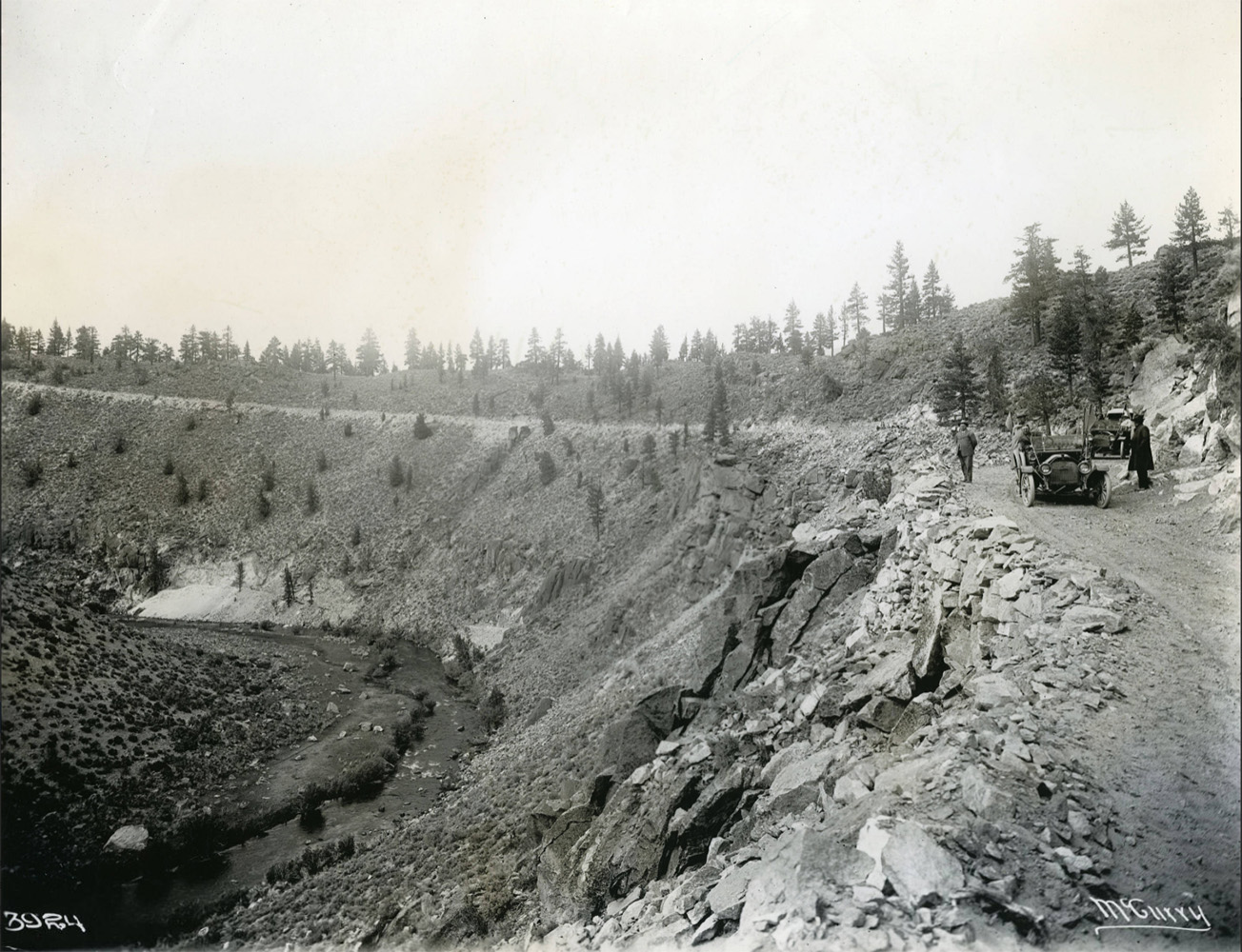 El Camino Sierra - Long Valley Grade, Owen's River on the left, Pasear Tour- 1912 |
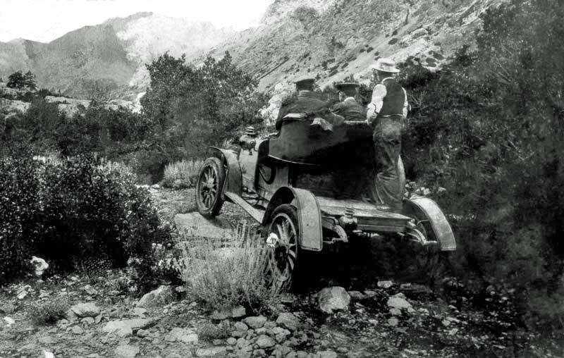
A word about the Pasear Tour - Inyo Good Roads Club This collection consists of the photographs taken of the 1912 California Pasear Tour by the McCurry Foto Company of Sacramento. The Pasear Tour was organized as part of the 1915 Panama Pacific International Exposition. Anticipating the completion of the Panama Canal in 1914, in 1911 the United States Congress decided the best way to celebrate would be to hold a world fair, and designated San Francisco as the host city for this exposition. There was an immediate flood of inquiries from all over the country, as to how to best see California by motor car. The Inyo County Good Roads Club proposed that a statewide tourist route be mapped, called the Pasear Tour, that would "present to the tourist the sublimity of the ocean, the desolation of the desert, the grandeur of the Sierras, and the fertility of the valleys." The route would cover three of the principal roads: El Camino Real (San Francisco to San Diego); El Camino Sierra (Los Angeles to Lake Tahoe); and El Camino Capital (Lake Tahoe to San Francisco). The Inyo proposal received support and sponsorship from the American Automobile Association, California Governor Hiram Johnson, the Studebaker Corporation and the California Highway Commission, among others. Maps were produced and the inaugural tour took place in 1912. The motorists consisted of Inyo Good Roads Club members, sponsor representatives and newspaper correspondents. The McCurry Foto Company went along with the caravan of Studebaker E-M-F automobiles and documented the journey in photographs. The tourists embarked from the Palace Hotel in San Francisco on June 10, 1912 and followed El Camino Real south (roughly current US 101/Interstate 5 routes) through Los Angeles to San Diego/Tijuana and then back to Los Angeles. The caravan then took the El Camino Sierra route (now roughly Highways 99 and 395), through the desert country and north up the eastern side of the Sierra Nevada to Lake Tahoe. The tour then pursued the El Camino Capital route (now US 50/Interstate 80), completing the 2,000 mile loop at the Palace Hotel on July 9, 1912. |
|
|
Aberdeen | |
|
|
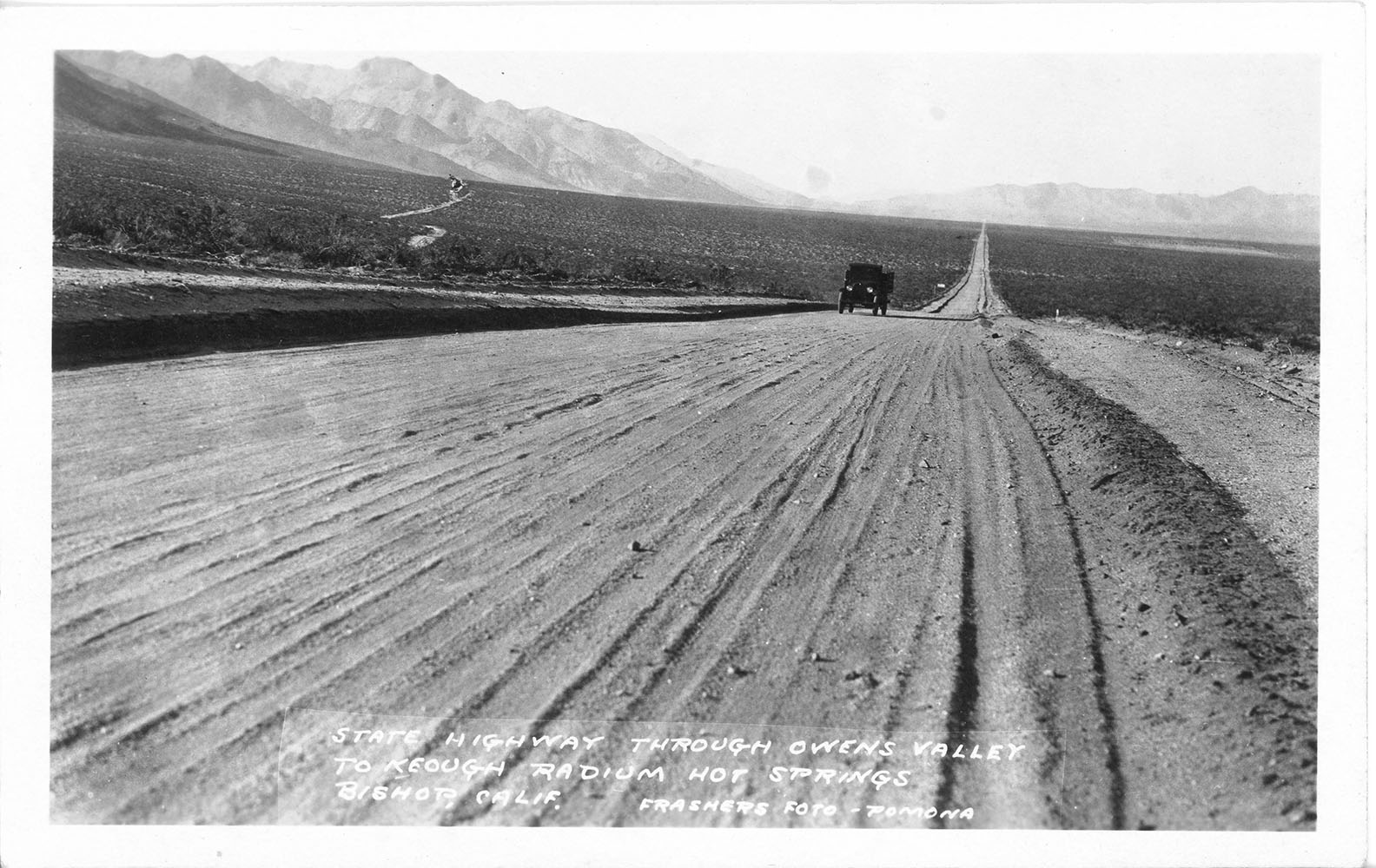
Keough Radium Hot Springs | |
|
|
Allie Robinson Pack Trains | |
|
More El Camino Sierra |
|
|
|
Aparejo Packing in the Sierra Nevada |
|
|
|
Sawdust Magazine |
|
Sign Guestbook View Old Guest Book Entries Oct 1999 - Feb 2015 (MS Word) |
 CONTACT the Pigmy Packer |
View Guestbook View Old Guest Book Entries Oct 1999 - Feb 2015 (PDF) |